
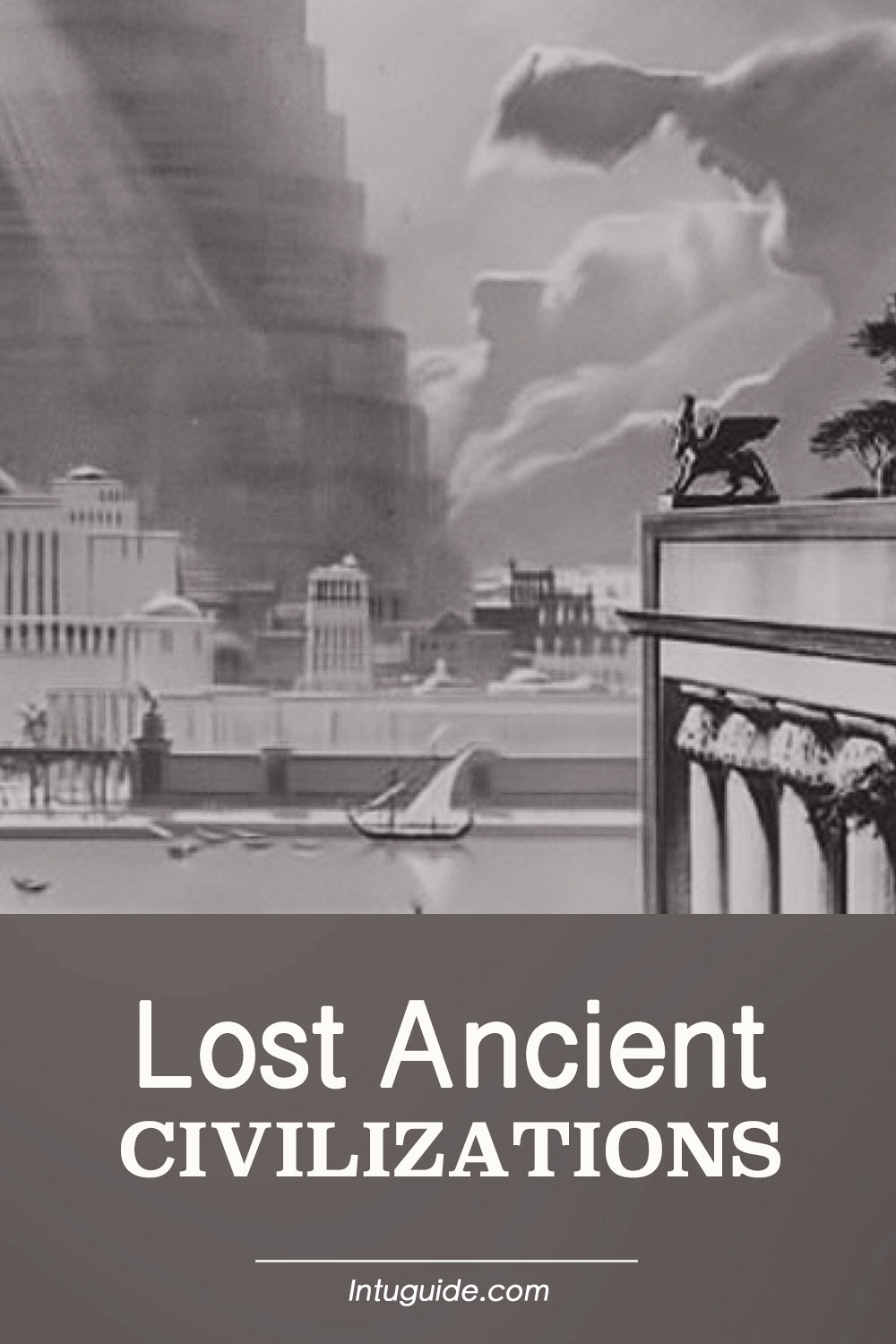
There is new evidence that suggests our history may have forgotten high science and technology that exceeded modern man’s expectations of the distant past. The ancients spoke of their past as being glorious.
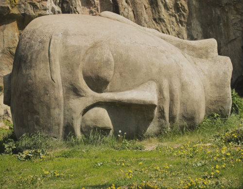
There is an old story from Plato’s time about a legendary ancient civilization that dwelled on a big continent and then deluged under sea level.
This sunken landmass was considered to be a lost motherland that gave birth to humanity on Earth. At its peak of development, people of this lost continent and ancient civilizations were highly evolved and spiritual.
Many consider places like Lemuria or the land of Mu a myth. However, three sunken continents Zealandia in the Pacific, Kerguelen Plateau, and Mauritia in the Indian Ocean do exist and Zealandia is a scientifically accepted continent 94% of which is submerged under the Pacific Ocean.
All three continents existed during ancient times and then sunk because of a geological event, cataclysm, or pole shift that destroyed and transformed the world.
Global Flood and Volcanic Winter
The first story about the legendary continent originated after the first translation of the Madrid Codex, one of the only four remaining Maya codices, that describes the vanished civilization.
The other source that pointed out the lost continent was Sanskrit literature. Since each culture tends to use its unique language and names for historical events, people, and places, most likely all these stories point to the same event at some point in history.
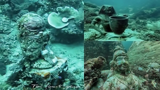
A great modern-day example of an underwater city is the ancient city Heracleion or Thonis. It was an ancient Egyptian city that had existed for approximately the 12th century BC and served as the country’s main port for international trade and collection of taxes.
Over time, numerous earthquakes, tsunamis, and rising sea levels weakened it. At some point during the tsunami, its buildings collapsed into the water, and the city sunk beneath the sea. Since then, the archaeologists, not to mention the exploration of large sunken continents that existed 70,000 years ago, explored no more than 5% of the city’s area.
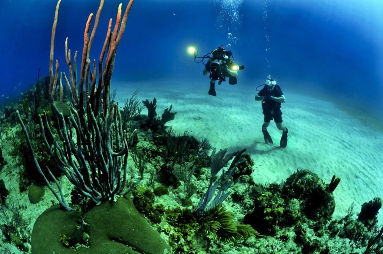
Image by ceh846 via Alamy
The Pacific Ocean is the deepest and largest Earth’s oceanic division that extends from the Arctic Ocean in the North to the South and is bounded by Asia and Australia in the West and the Americas in the East.
The Pacific Ocean is home to about 25,000 islands that can be divided into three main groups: Melanesia, Micronesia, and Polynesia. Many people from Oceania and Asia have traveled the Pacific Ocean since prehistoric times.
The ocean itself is not always peaceful and has many tropical storms that affect its islands. The lands around the Pacific Rim are full of volcanos and often affected by earthquakes.
A large number of islands, and in some cases, entire towns were destroyed by tsunamis caused by underwater earthquakes.
Many islands have perished as a result of catastrophic geological phenomena such as volcanic eruptions or slowly rising sea levels since the end of the last Ice Age. As a result, a large number of lands that existed during prehistoric times can be covered by the Pacific Ocean.
According to fossil evidence, dinosaurs, mammals, and ancient humans went extinct quite a few times due to the numerous catastrophes around the globe that happened at least 9 million years ago.
One such example is the Toba catastrophe that happened 75,000 years ago due to the supervolcanic eruption at the site of present-day Lake Toba in Sumatra, Indonesia. The eruption caused an event that triggered a global volcanic winter of six to ten years and possibly a 1,000-year-long cooling period.
In 1992, science journalist Ann Gibbons wrote that there was a “delay” of population development in human evolution about 70,000 years ago that was caused by a volcanic eruption.
Ocean Ridge Formation
Evidence of Sunken Landmass in the Pacific and Indian Oceans Formation of the fine sediment deposits after a global flood can be found worldwide. Increased rates of sea-floor spreading during the Cretaceous period have caused the global (eustatic) sea level to rise and be 100-170 meters higher than today.
Increased sea-floor levels enabled Ocean Ridge formation around the globe. The mid-ocean ridge expanded and formed a broader ridge, occupying more space in the ocean basin and causing sea levels to rise. After the thermal expansion, the plate tectonics process formed new continents around the globe.
Kumari Kandam Ancient Civilization.
Image source modernthamizhan
Some writers such as Devaneya Pavanar have associated the lost continent with a legendary sunken landmass Kumari Kandam, mentioned in Tamil literature. Some believe that it was located close to the Indian Ocean and connected to Madagascar, South India, Australia, and South Africa.
In the past, the scientific community didn’t accept it because according to the plate tectonics theory, Madagascar and India were once part of the same landmass (thus accounting for geological resemblances).
Plate movement caused India to break away millions of years ago, and move to its present location. The original landmass, the supercontinent Gondwana, broke apart but it did not sink beneath the sea level.
Kerguelen Plateau
Kerguelen Plateau is an interesting discovery made in 1999 by a research vessel in the Indian Ocean that can serve as proof of a sunken landmass theory. Kerguelen Plateau is a large island that was submerged nearly 20 million years ago by rising sea levels.
The researchers discovered samples with pollen and fragments of wood deposited on 90-million-year-old sediment.
In 2013, grains of sand from the beaches of Mauritius were studied, revealing that a similar landmass existed between 2 billion and 85 million years ago.
Pangaea Supercontinent
Pangaea or Pangea (which means “all, entire, whole” in Greek and Gaia (Earth, land)) was a supercontinent of a continuous landmass that existed during the late Paleozoic and early Mesozoic eras surrounded by superocean Panthalassa. It formed from earlier continental parts about 335 million years ago, broke apart, and drifted about 175 million years ago.
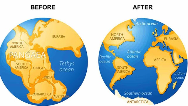
Pangaea supercontinent.
Image source geologyin.com
Pangaea continent was not the first supercontinent that broke apart. Before Pangaea, many other continents emerged and broke apart and it appears to be a repetitive cycle.
The latest, most ancient supercontinent, is called Columbia or Nuna, which is believed to exist approximately 2,500 to 1,500 million years ago. The evidence that this continent existed is based on paleomagnetic and geological data. After breaking up, a new landmass formed such as the continents of Laurentia, Baltica, and Gondwana.
Evidence of Pangaea was found in the fossil presence of identical species such as the therapsid Lystrosaurus discovered in a localized region of South Africa, Antarctica, and India.
Additional evidence includes geology that had matching geological trends between the coast of South Africa and the western coast of Africa. The orientation of magnetic minerals in rocks also provided clues that continental plates have moved.
The Mammal Fauna of Madagascar Theory

Image by InspiredImages from Pixabay
The presence of similar and identical species on continents that are currently far away from each other is another type of evidence to detect the lost landmass. In 1864, there was a discovery by zoologist Philip Sclater who classified lemurs in related primate groups.
He discovered lemur fossils in both Madagascar and Indian continents but not in Africa or the Middle East. He recorded his findings in the Mammal fauna of Madagascar theory.
Based on the fossil evidence, he concluded that Madagascar and India used to be a part of a larger continent such as the supercontinent Pangaea. After a major cataclysmic event, this continent was broken up into islands that formed Africa, Asia, and India. This theory was mostly ignored by Darwinians who were too busy comparing chimpanzees to humans and it got a classification as “out of place theory”.
One Race and One Worldwide Language
Genesis 11:1-9 tells us about generations following the Great Flood who built a city on the land of Shinar and then a very tall tower called the Tower of Babel. According to the story, there was only one race and a single language.
One race and one language didn’t work out well for this generation and God simply modified people’s speech so they could no longer understand each other and scattered them around the world. Some scholars reference the Tower of Babel creation to Etemenanki, a Great Ziggurat of Babylon 300ft in height that is dedicated to the Mesopotamian god Marduk.
As people migrated from the land of Shinar and scattered around the world, they formed different groups isolated from each other. Each group might carry a set of certain physical characteristics as determined by their genes. Over time, a certain set of genes was dominant over the other forming different varieties of races.
Other changes such as genetic or environmental polymorphism and climate adaptation may also play a role in the development of physical characteristics. In addition, isolated groups tend to create unique customs and language variations.
The One Race and One Language story used to sound like a myth until archeologists discovered a 5,000-year-old alphabet while studying very old rock art somewhere in North America.
The first instance of the alphabet was found in Colorado, the second one surfaced in the Negev desert of Israel and the third discovery of the same alphabet emerged in South Australia.
The alphabet appeared to match ancient writing found in other locations around the world (six global continents total). Researchers suggested it was because of cultural migration.
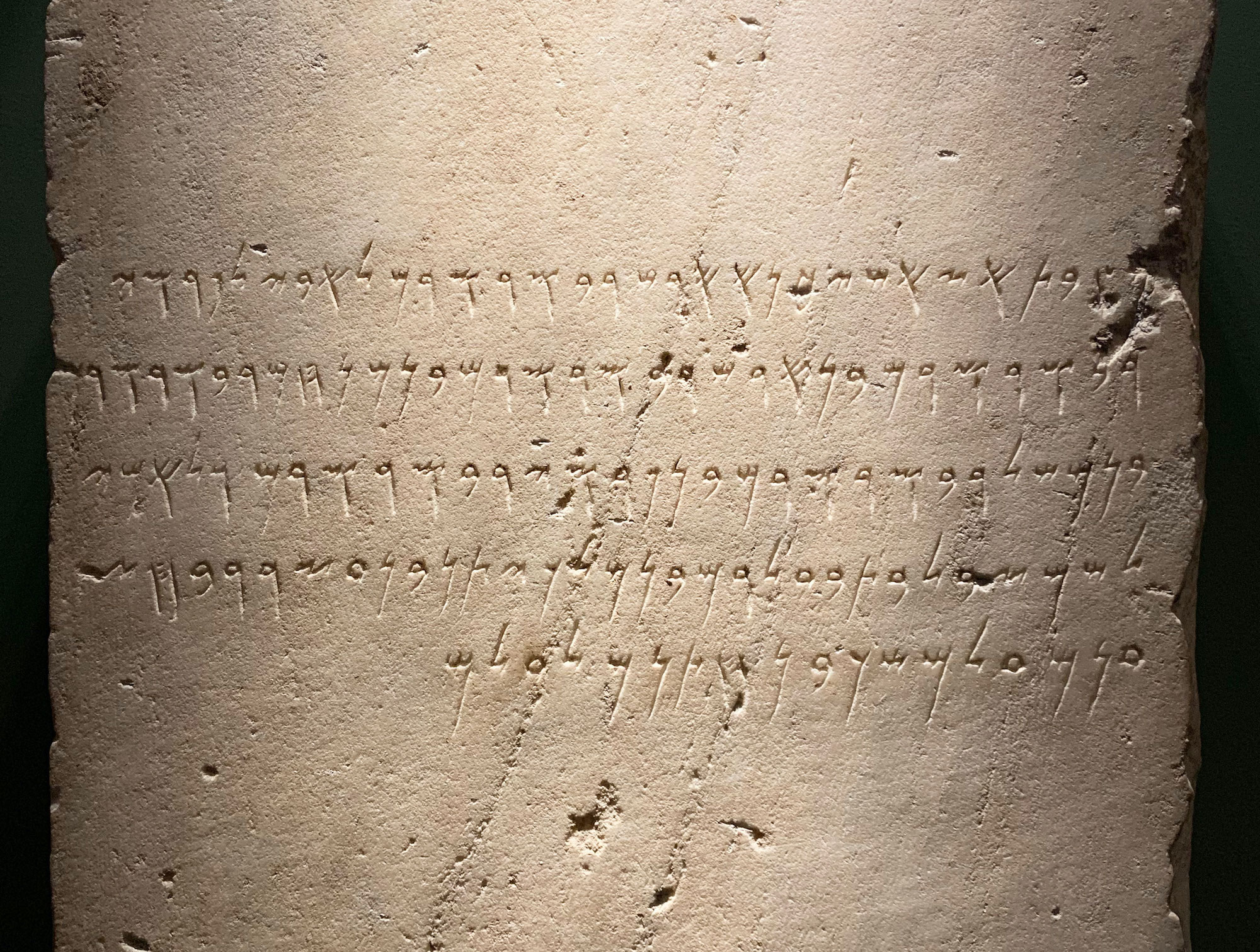
Phoenician inscription.
by Onceinawhile, CC BY-SA 4.0 via Wikimedia Commons
The alphabet was kept in Yemen, where it was carved in a font style representing the Sabaean Empire under the Queen of Sheba. The alphabet is currently identified to be proto-Himyaritic, or Sabaean, and translated using a proto-Canaanite dialect or Phoenician alphabet.
After studying and translating the alphabet, it was evidence of a common culture and religious belief system. The text consisted of 22 letters in the form of geometric shapes, with certain letters containing more than one symbol. Each symbol had a corresponding phonetic (sound) meaning with the vowels almost always excluded except for Y. This discovery is evidence that there was a language that existed long before the Hebrew language by at least millennia. These and other findings can serve as proof that lost continents and ancient civilizations existed at some point.
Even to this day, the sunken continent story is very popular among many nations. The beautiful story of a flourished tropical land with beautiful fauna, architecture, and spiritually advanced people who could be our ancestors resembles a beautiful story of creation. Even though it sounds like a myth to some, there is geological and mammal evidence that may support this story. The lost motherland that many still connected to through visions or dreams and still searching for it in the hope of finding it someday.

*As an Amazon Associate, I earn from qualifying purchases.